Define the question
Start with your area, time period and decision.
GEOSPATIAL & EARTH INTELLIGENCE
Satellite observations. Ground measurements. Clearer intelligence for a changing planet.
We connect Earth observation, geodesy and geospatial analytics to help you understand change across agriculture, water, land and ecosystems.
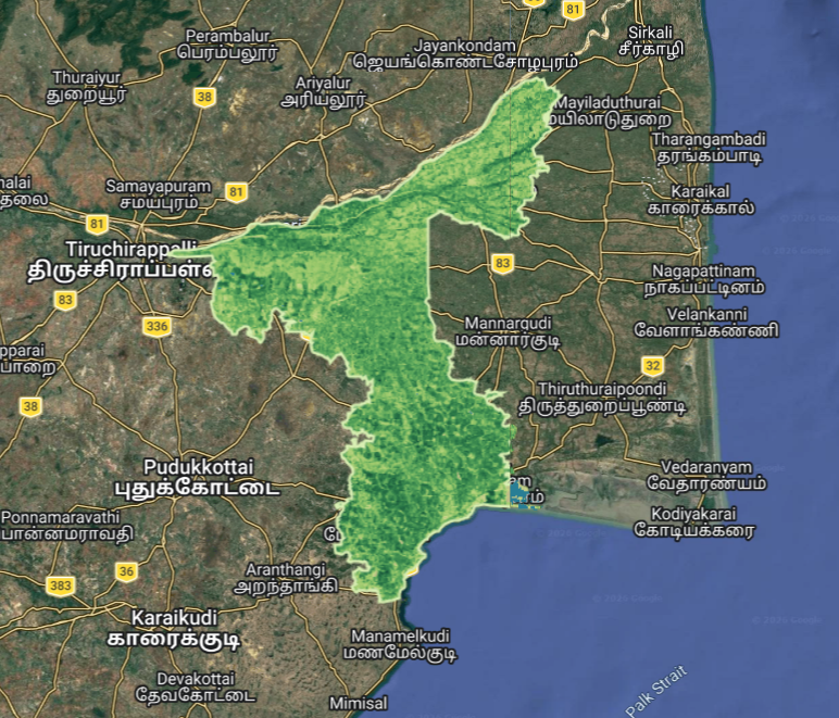
01 / SOLUTIONS
From individual fields to regional water systems, we develop analysis around the question you need to answer.
Understand crop conditions across fields and seasons.
See water change at a regional scale.
Understand how the ground is moving.
Make vegetation change measurable.
Turn complex spatial data into useful outputs.
02 / OUR APPROACH
Environmental change rarely happens in isolation. We bring different observations together, explain their limits and deliver outputs you can work with.
Get to know SpaceVexa ↗Start with your area, time period and decision.
Select suitable satellite, ground and reference datasets.
Apply scientific methods and examine data quality and uncertainty.
Share maps, time series, reports or tailored tools.
03 / SELECTED WORK
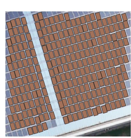 Drone imagery / QGIS
PROJECT IMAGE
Working prototype
Turn drone RGB imagery into editable solar-panel polygons, counts and asset attributes inside QGIS.
DeepLabV3+ · ONNX · QGIS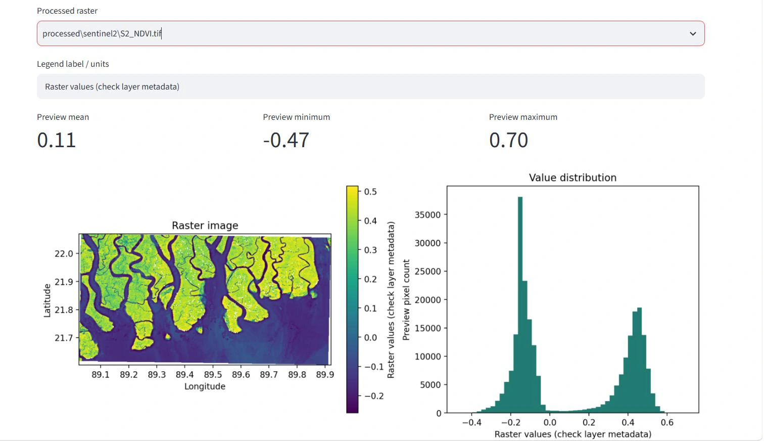 Mangrove ecosystems
PROJECT IMAGE
Research prototype
Combine GEDI observations with Sentinel-2, Sentinel-1 and ALOS-2 to explore mangrove biomass estimation.
GEDI · Sentinel-1 / Sentinel-2 · ALOS-2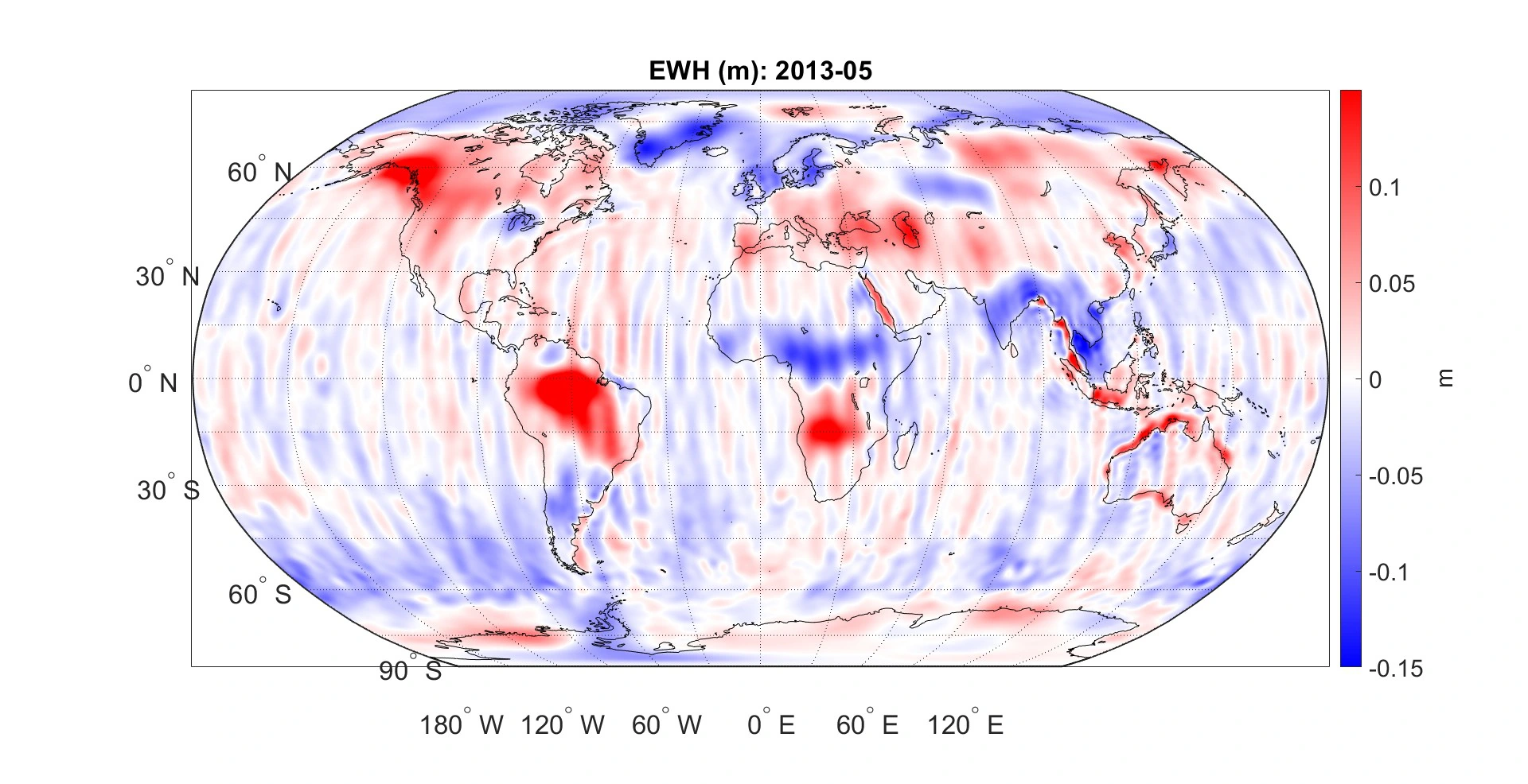 Baltic Sea / University of Bonn
PROJECT IMAGE
Founder’s MSc research
Investigate regional ocean-mass change in the Baltic Sea using GRACE and GRACE-FO satellite gravity observations.
GRACE / GRACE-FO · MATLAB · GeodesySelected prototype and research outputs. Project pages describe data sources, validation and current limitations.
04 / COMPANY
SpaceVexa is an emerging geospatial venture founded by Manikandan Somu, a geodetic and Earth observation engineer. Our focus is practical environmental intelligence built on transparent methods.
Meet the founder ↗LET’S EXPLORE YOUR CHALLENGE